

Main Page | Knowledge base | Geophysics | Resistivity surveys | Resistivity surveys by tomography technique
RESISTIVITY SURVEYS BY TOMOGRAPHY TECHNIQUE
Electrical resistivity tomography ERT is also known as resistivity imaging. This method is combination of electrical sounding and profiling because surveys are done along the profile and with increasing depth of investigation.
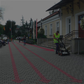
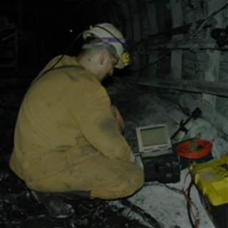
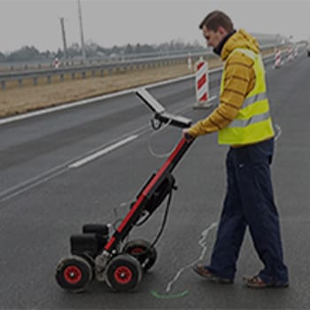
Typical array used in tomography is Wenner’s array but it is possible to use another arrays. In this method it is not necessary to relegate and move electrodes what makes survey more rapid. Before measurement start it ought to be apply to computer proper data concerning geometry of the array, profiles lengths and parameters of the survey. Equipment allows also to determine if every electrode has good contact with the ground (if it is properly grounded). During the measurement, system is controlling the quality of the measurement and error analysis on-line.
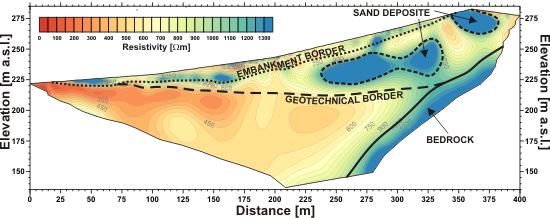
Electrical resistivity tomography ERT depth cross-section
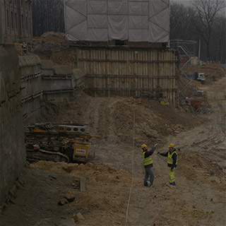
Electrical resistivity tomography is, nowadays, one of the most popular geophysical method, mainly due to its time efficiency, does not need limitations like sounding or profiling and have wide range of application. This method is especially useful for clay and silt formation where other methods (e.g. georadar) fail.
In addition, it allows to do survey along profiles with various length and allows 2D and 3D interpretation.
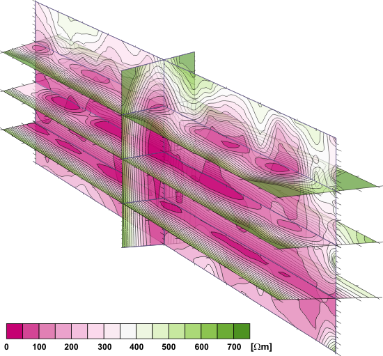
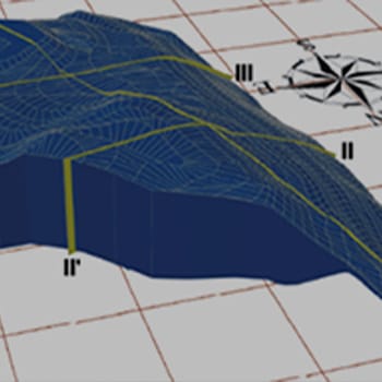
Spatial visualization of resistivity tomography survey to evaluate the tightness of anti-filtering underground barrier
Electrical resistivity tomography method characterizes of wide range of applications:
- geological-engineering identification of the constructing substrate,
- lithology indentification in general,
- exploring studies and geological mapping for geoogical indentification,
- monitoring of the environment and zones with mass movement risk,
- ground testing for design purposes,
- determination of the depth and thickness of overlying layers and embankments,
- detecting anthropogenic objects in archeological works,
- depth of bedrock,
- location of karstic structures,
- location of cavities and voids,
- studies of mountain permafrost,
- studies of stability of bluffs, embankments and landslides condition,
- assessment of technical condition of hydrotechnique constructions,
- determination of slip planes, cracks zones and discontinuities,
- location of low-permeable formations,
- robustness and structure of dams,
- detecting aquifers in Quaternary formations,
- mapping of pollutions/contaminations halo and their migration tracks,
- monitoring of contaminations migration and dynamic of their variations.