


Main Page | Services | Engineering | Large constructions
LARGE CONSTRUCTIONS
Both during the development and building phase, it is essential to proper diagnosis the soil. Classic geotechnical investigation should then support continuous geophysical surveys. In this matter comes with the help a variety of methods, the choice of which is dependent on geotechnical and terrain conditions. For the building of large constructions, where the area had already been built-up in the past, and the ground may persist remnants of foundations and other infrastructure, which is a danger to the proper foundation of new facilities, it is important to recognize and mark such an areas and take that into consideration during redesigning phase. To the best methods for detect objects you may include ground penetrating radar. If the soil is preferred and there is no an increase of damping and disturbing GPR signal, we have available a range of antennas with variable parameters range and resolution. Such research is usually performed in the initial phase of the project but also can be used during unexpected cases. Using the GPR surveys can subsequently identify suitable sites for geotechnical surveys point.
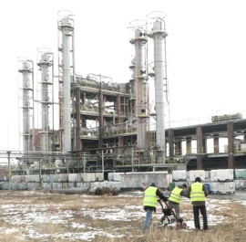
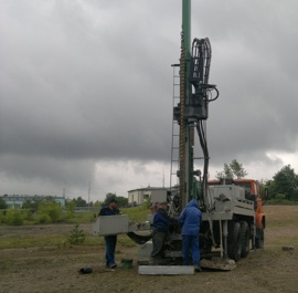
Localization of foundations and other objects in the ground using a multi-channel GPR method for the project of develop the chemical plant (left) and geotechnical studies for the factory facilities designing (right)
Pre-designing GPR survey prior geological works to determine the optimal places for geotechnical investigations and to detect old foundations and cellars
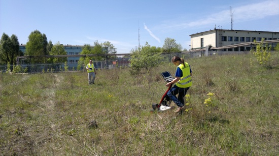
At the construction stage, it is possible thanks to the detailing of geological information by geophysical gravimetric and seismic research. Gravimetry is indicated for large, flat areas, and the result of those surveys are distribution of density anomalies maps. This is not a depth method, where we can point anomalies in a different depth, and it is necessary to verify gravity anomalies using the seismic method. The result of seismic survey are cross-sections with wanted depth axis.
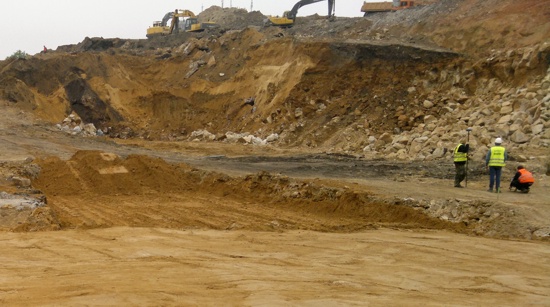
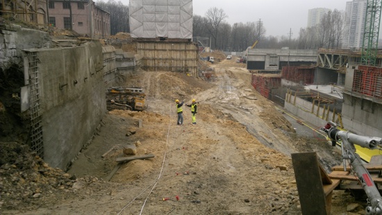
The gravimetric survey in the bottom of deep excavation to detect density anomalies where the foundation slab of the building will be constructed
Seismic surveys for detailing geotechnical exploration of the ground and to identify its potential areas of strength anomalies


