Main Page | Services | Engineering | Pipelines and horizontal directional drilling
PIPELINES AND HORIZONTAL DIRECTIONAL DRILLING
Geophysical surveys are commonly conducted for the diagnosis of the ground for the new, projected pipelines and for directional drilling HDD as-well (Horizontal Directional Drilling). This technology enables a significant reduction in length of the route e.g. Gas pipeline due to bypass the vertical obstacles such as rivers or water channels. Due to the fact that in the soil, where will be constructed new pipe / drilling HDD, there may be objects (e.g. Erratics) or be hostile geological formations that could affect the location of the projected route or even damage the equipment drilling. It is very important to accurate recognize the HDD drilling or pipeline route. Specialized geophysical and geological surveys, despite additional costs, allow to optimize and reduce the risk of hardware failure as-well reduce other unexpected costs.
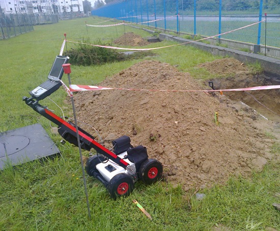
GPR survey to detect potential collisions on the projected route of shallow horizontal drilling between excavations and additional mapping an existing infrastructure
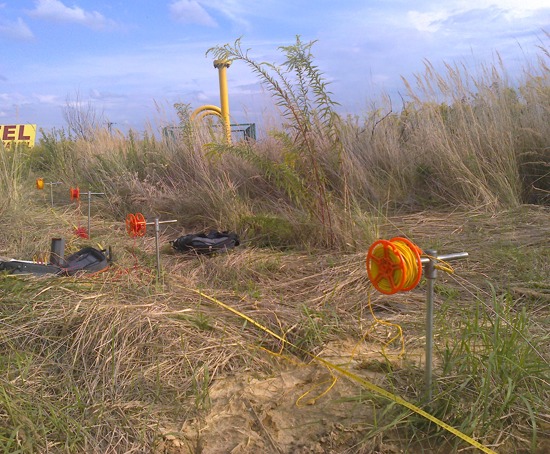
Ground resistance measurements by the Wenner’s spread of resistivity sounding for the projected gas pipeline
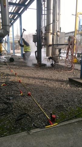
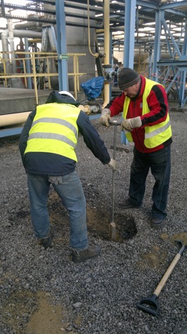
Complex surveys near pipes and oxygen installations in order to identify areas of loosened by the method of seismic engineering (left) and verification of seismic anomalies and determine the geotechnical parameters in indicated by geophysical localizations (right)
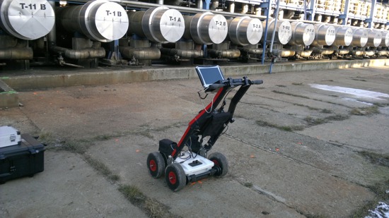
Multichannel GPR survey in order to determine the optimal corridor for the newly designed drilling HDD of additional power cables
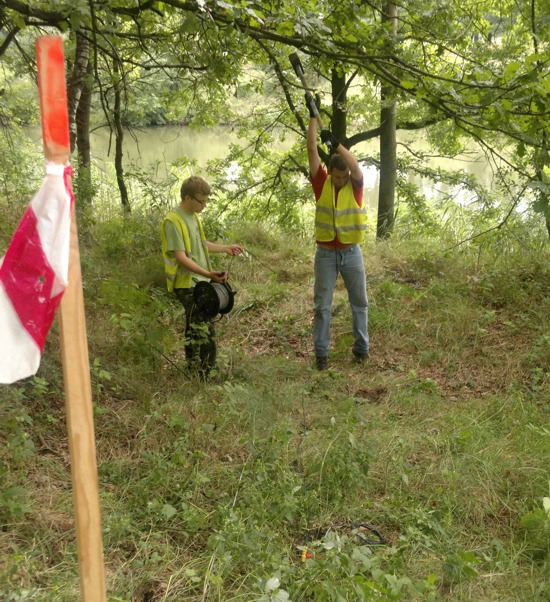
Micro-seismic surveys for the recognition of soil and rock by the river at the site of the planned deep drilling HDD
ADVANTAGES AND APPLICATION OF GEOPHYSICS FOR THE IMPLEMENTATION DIRECTIONAL DRILLING HDD
- NDT (non-destructive),
- continuously recognition of the medium, high accuracy survey and speed of measurements,
- the relatively low cost of the survey compared with the potential costs of drilling equipment repair,
- the possibility of measurements in different terrain and weather conditions,
- frequently the initial location of the underground objects in the field,
- the location of unidentified objects in the ground eg. rocks, tanks, foundations,
- determining the occurrence of lithological layers, eg. clay, sand, gravel,
- determining the location and shape of the hard soil ceiling.


