


Main Page | Services | Engineering | Road transport
ROAD TRANSPORT
The application of non-invasive geophysical methods for road transport sector can be divided into two categories. Geophysical methods are used during: design works – for clarification of geotechnical investigations and for the road surface and substructure monitoring. Depending on the terrain and geological conditions different geophysical methods are applied. Geophysical continuous surveys allow to determine local variations of ground parameters which is essential during designing and constructing roads in post-mining area where voids and local ground subsidences due to mining works occure.
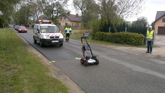
Georadar surveys to monitor the horizontal construction layers of municipal road
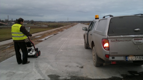
Georadar surveys to verify the quality of construction layers of built highway with concrete surface
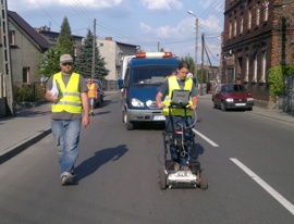
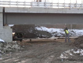
Location of eluting zones and loosening in the bedding layer and substructure of road using a multi-channel GPR method (left) and determination of dynamic elastic moduli varations under the built bridge using seismics (right)

Seismic surveys for geotechnical identification of modernized road substrate in the post-mining area


