

CUBATURE CALCULATIONS
APPLICATION OF SEISMIC METHOD TO PRECISE DETERMINATION OF GEOTECHNICAL BOUNDARIES AND CUBATURE
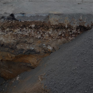
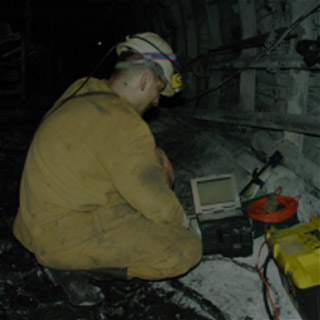
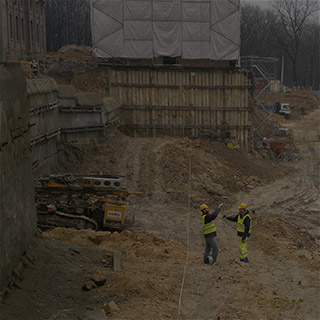
During the design and construction works it is often important, as far as possible, accurate estimation of the earthworks or relocation of materials both anthropogenic and natural. Such works are applicable to the construction of embankments, estimating the volume of the heaps and landfills. For this purpose, in addition to the geotechnical drillings and geodetic surveying, continuous, fast and non-invasive geophysical studies are applied. Due to the need to determine the boundaries between the geotechnical layers stored at different times, as well as the designation of the range of bedrock, such geophysical studies are particularly useful and are applied in many industries and investments.
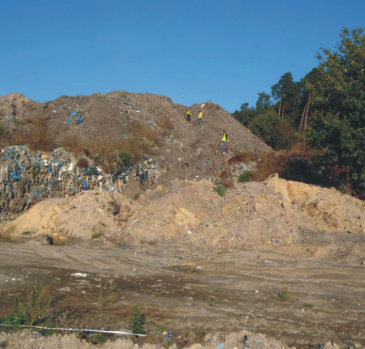
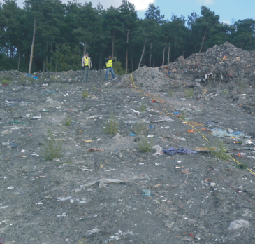
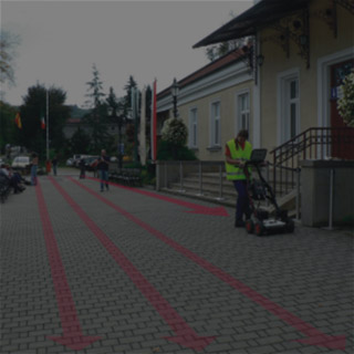
Seismic measurement on municipal wastedump place in order to identify the boundaries of layers and the range of wastes
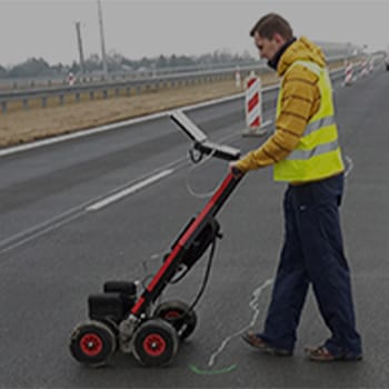
The most often, the following geophysical research methods are applied:
- seismic MASW,
- seismic refraction tomography,
- seismic refraction,
- resisitivity tomography ERT,
- GPR profiling.
These methods can image the structure relatively well, but the most conclusive results are obtained from seismic surveys due to the direct correlation between seismic waves velocities and structure or geomechanical state.

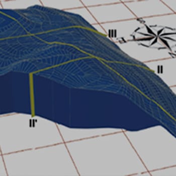
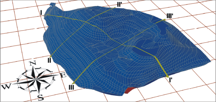
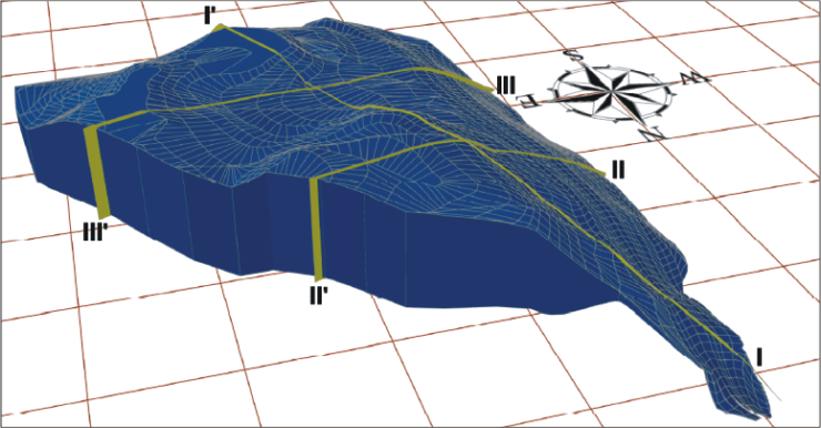
3D elevation maps of the municipal waste dump upper and lower surfaces. Upper map was established on the basis of geodetic surveying while the lower map was created by careful determination of the footwall of the landfill using seismic surveys along the profiles marked on the top map.
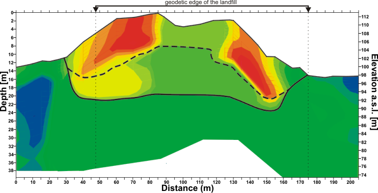
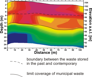
An example of a seismic cross-section longitudinal (at the top) and transverse (on the right) made to identify the depth range of landfill waste. In both sections, there are clear geophysical boundaries where the solid line indicated depth range of entire landfill. The dashed line marks a clear seismic boundary, separating the two waste disposal stages.
Seismic surveys allow direct determination of the so-called seismic boundaries. They are associated with the boundaries between the different layers in the studied medium. Allow unambiguous determination of the position and course with depth eg. the footwall of: embankments, aggregates, layers with varying density or coverage of municipal waste landfill. Information obtained from such studies are used to determine surface and cubic capacity (volume) of defined layers. It is determined on the basis of geodetic coordinates of the upper surface and the spatial position of the boundaries from continuous seismic surveys made along the measurement profiles.
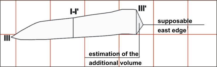
3D model of the site (top and middle) constructed on the basis of geodetic measurements and geophysical surveys. It was used to calculate the volume of wastes. The bottom figure shows the selected cross-section visualization, together with an estimation of the additional volume, detected by seismic testing.
Verification of the volume is always performed by two methods: the sum of the individual cuboids and the total solids between triangular polygons described for the top and footwall of the analyzed layer.
The results of such studies are presented as cross-sections with the determined boundaries, correlated with geological information and in the form of contour mapping and spatial blocks, as well as sections of visualization in any selected places of the model. Other geophysical methods (resistivity, GPR) have more restrictions and are very sensitive to changes in humidity and degree of compaction, giving inconclusive results.