

Main Page | Knowledge base | Aplications
APPLICATIONS
FOR GEOPHYSICAL AND GEOTECHNICAL STUDIES
When considering a specific task, choosing the appropriate methodology for collecting information on the examined ground should be done. By the combination of geotechnical and geophysical surveys, it is possible to get a very accurate identification of soil or engineering objects. Range of the research works often depends on economic factors, so it is important to optimize the selection of geophysical methods and their scope.
Additionally, some independent, external elements should be considered, such as:
- terrain conditions (eg obstacles, buildings, infrastructure, heaps, rivers, landfills, wetlands, noise from road and rail transport, power lines),
- geological and mining conditions (eg the content of clay minerals, water saturation, structural abnormalities, complex geological structure like faults, karst, emptiness voids),
- the expected depth of recognition,
- dimensions of localized objects,
- required resolution.
These conditions could make impossible to use some geophysical method in specific task but doesn’t eliminate another method. Each task requires an individual and professional solution depending on economical and technical conditions. Unjustified promotion of selected geophysical methods, as the “perfect” without taking into consideration disturbing elements for the solution of each task, is irresponsible and could cause misleading and losses for the customer.
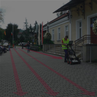
SURFACE DIAGNOSTIC
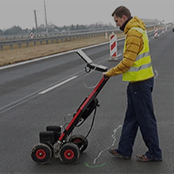
For the evaluation of the technical condition of roads, airport runways, concrete floors, screeds, walls and other objects the best method is georadar surveys. Due to continuous profiling there is possible to accurately determine the thickness of the individual layers and the location of boundaries. After appropriate processing of the measurement signal, GPR images are often correlated with geotechnical studies data from boreholes and probing, performed in order to determine the geotechnical parameters of the layers.
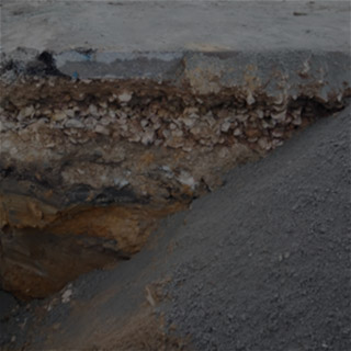
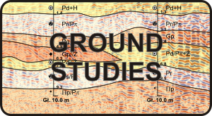
GROUND STUDIES
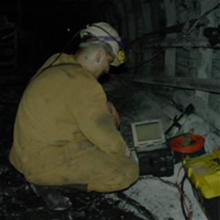
The basic technique for recognizing the ground is drilling and geotechnical probing. However, there is often need of continuous technology which provides geophysics. For ground studies there is wide range of research using geophysics. The common used methods are geoelectrical, electromagnetic, georadar oraz seismic. These are used for example in engineering geology and during projecting of directional drilling works (Horizontal Directional Drilling HDD, Directional Drilling DD). Geophysical surveys are also well suited to locations mining voids and karst cavities, determine the dimensions of the loosened zone or settlement, as well as detection of non-bearing soils.
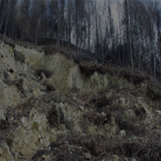
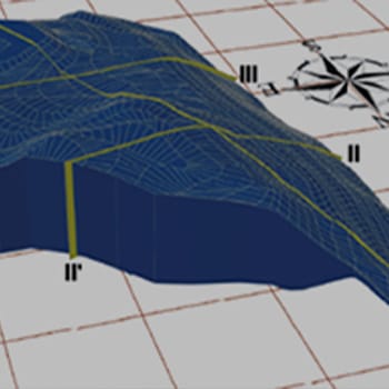
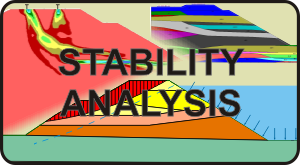
STABILITY ANALYSIS
For slopes, embankments, levees and any inclined natural and anthropogenic surface area (eg embankments) stability calculations are highly recommended. Result of this calculations is factor of safety for the particular model, which is constructed on the basis of information from individual geotechnical and geophysical continuous investigations. Geophysical methods gave invaluable addition to engineering-geological cross-sections, a more accurate interpretation of the boundaries of each layer. With complex geological conditions, geophysical surveys are an important element, consisting on the accuracy of the geological mapping of the examined landslide and evaluation of the risk of mass movements of the earth.
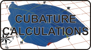
CUBATURE CALCULATIONS
During the works related to linear structures and high-volume there is often a need to determine the cubature as accurately as possible. Such works are useful in estimating the cost of earthworks or transport the collected materials such as rock, waste, etc. The great accuracy for such tasks can provide only non-invasive and relatively inexpensive geophysical surveys, in conjunction with geodetic and geotechnical studies. They allow continuous and non-destructive mapping of the depth of the soils, both native and anthropogenic.
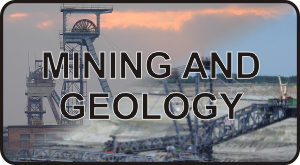
MINING AND GEOLOGY
In underground and open-pit mining there is extremely important as the most accurate estimate volume of deposits, waste rock and overburden. With assessing the cost of extraction and the optimal location of the mine, geophysical methods: GPR, seismic and geoelectrical are commonly used. Engineering geophysics is also used in the search for shallow raw material deposits. In addition, during the operation of the mine, these methods allow the evaluation and analysis of rock burst hazards continuity and dimensions of the individual layers of mineral deposits.
ENGINEERING
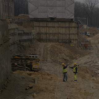
In designing the route of the linear structures such as pipelines, transportation routes, railways and tunnels, it’s essential to perform continuous geophysical surveys in addition to geotechnical boreholes. Geophysical surveys are executed in parallel to the axis of the proposed object. For engineering structures such as wind turbines, halls, warehouses or others, depending on the requirements and soil conditions the geotechnical and geophysical surveys must be carried out in order to proper determining the bearing capacity of the soils. In the case of levees, dams, weirs, barrages and transport routes, non-invasive methods help to determine its condition. In addition, conducting monitoring of changes in the objects allows to detect threats before the time and thus save time and reduce costs.

OBJECTS LOCATION
Geophysical studies are also applicable in the diagnosis of the ground for the location of any underground facilities that could disrupt construction works on new projects. Detection of old foundations and basements and infrastructure is also important with the best location of foundation pit support elements of designed buildings. Particularly useful for non-invasiveness of research allows you saving and precision in identifying relevant objects in the ground. Another branch of applications of this type of research is archeology such as the location of the basement, walls, tombs, crypts, burial mounds, corridors, tunnels and old foundations. Used herein various geophysical methods, depending on the terrain and geotechnical, and their selection should be adjusted to the required parameters as resolution and depth of the identification of the test ground.
EXPLORATION GEOPHYSICS
For the purposes of recognition structures for subsurface “energetic” mineral deposits and other commonly are used geophysical methods. At the initial stage, for the diagnosis of shallow subsurface zone are carried out seismic surveys in shallow boreholes called up-holes and refraction technique. They are designed to determine the thickness and velocity of the waves in the area, for the purposes of processing the major seismic prospecting surveys. Other geophysical reconnaissance of deposits are gravimetric surveys.
Spectrum of applications of non-invasive subsurface geophysical investigations is very broad. In addition to those mentioned above are also used in:
- environmental protection such as contouring petroleum hydrocarbon contaminated sites, waste waters, leachate water with high mineralization,
- in criminology (search for mass graves burial sites),
- detection of unexploded ordnance.